Fishkill Ridge - Mt. Beacon
Region: Hudson Valley
Level: Moderate
I took my second trip to Beacon, NY this past Saturday to hike more of the miles of trails the full park has to offer. This time around, I started out doing Fishkill Ridge and made my way south to the Beacon summit after trying out few different trails.
I took the Metro-North to the Beacon station, about an hour and a half trip from Grand Central, and an Uber to the Fishkill Ridge trail head. Please note, if you get a cab, make sure to note to the driver that the trailhead starts a little ways up a gravel, pot-hole riddled road. My driver got confused, I got inpatient, and decided to exit the cab early and had to start the hike a little earlier than planned. I hiked nearly a mile up the gravel road to the Fishkill Ridge trailhead before actually getting into the woods.
Mt. Beacon history. This sign and info is located at the base of the Casino Trail.
Mt. Beacon Park Trail Map. My route: Fishkill Ridge Trail (white) -> Lamb's Hill -> Dozer Junction (blue) -> Wilkson Memorial Trail (yellow) -> Casino Trail (red) -> Beacon Fire Tower trail (white) -> Beacon summit -> down Casino trail from summit to the mountain base
Mt. Beacon Monument Road.
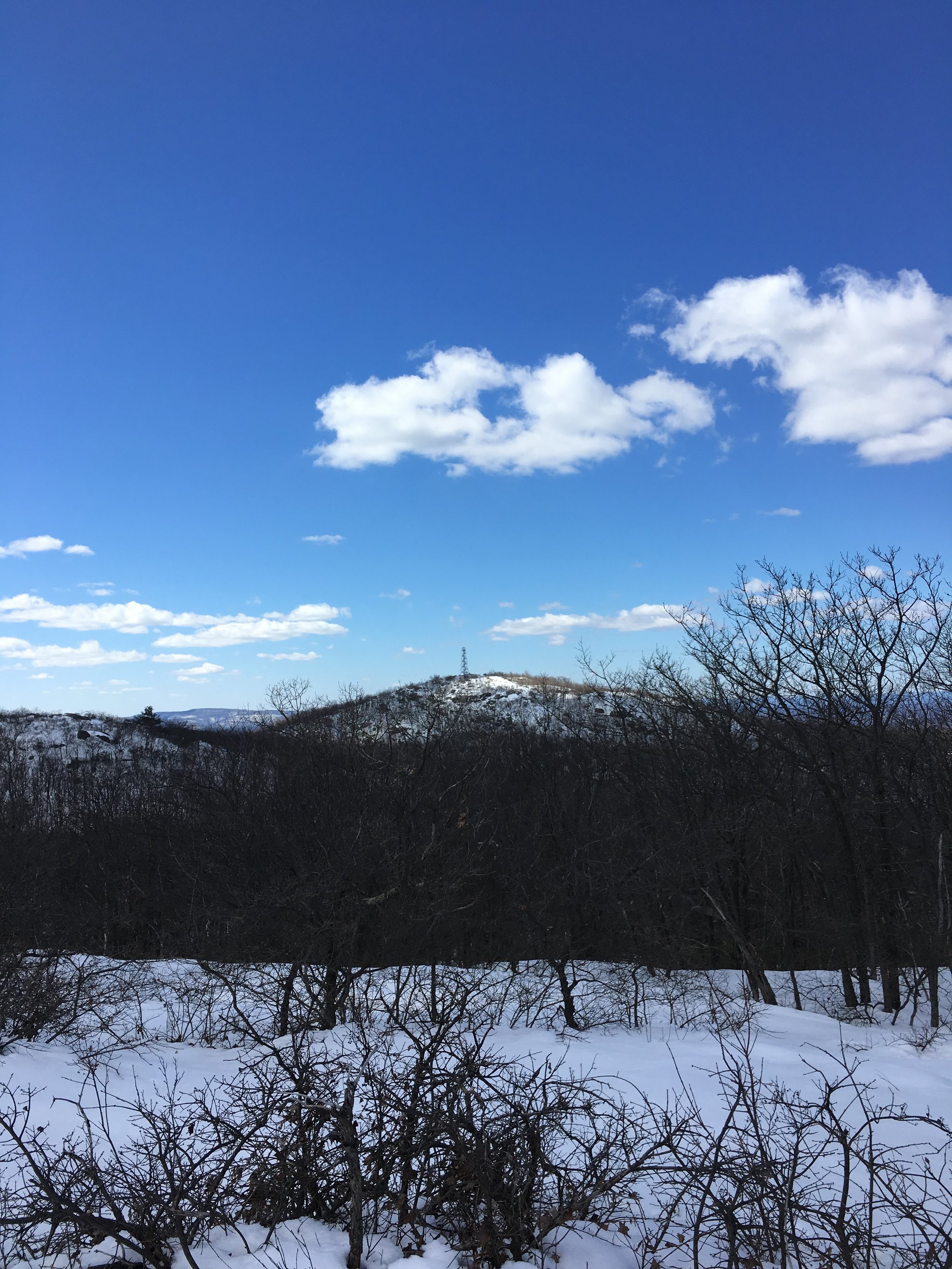
Once I got into the woods, I started up in what ended up being about 6-12 inches of snow depending on the exact spot and sun angles. Ice/snow grips for your boots and a change of socks were a must-have. I went forward on the Fishkill ridge trail (white), hit the summit of lamb's hill and saw some very nice lookouts. From there i took a quick cutover trail - Dozer Junction (blue) - to the Wilkinson Memorial Trail (yellow). This trail was beautiful (see pics for a few great lookout points) and much less crowded, I ended up passing by only two fellow hikers during the entire trip from Fishkill, through Wilkinson and eventually the summit of Beacon.
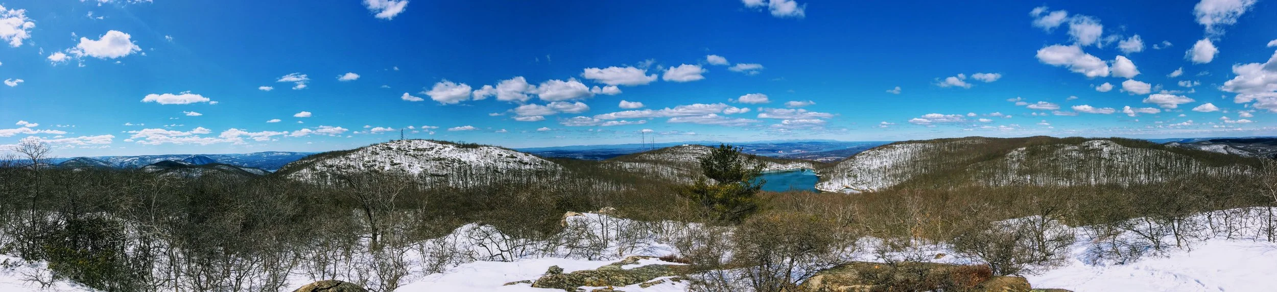
Panoramic photo from the top of one of the lookouts along the Wilkinson Trial. You can see the summit of Beacon in the distance, including the Fire Tower.
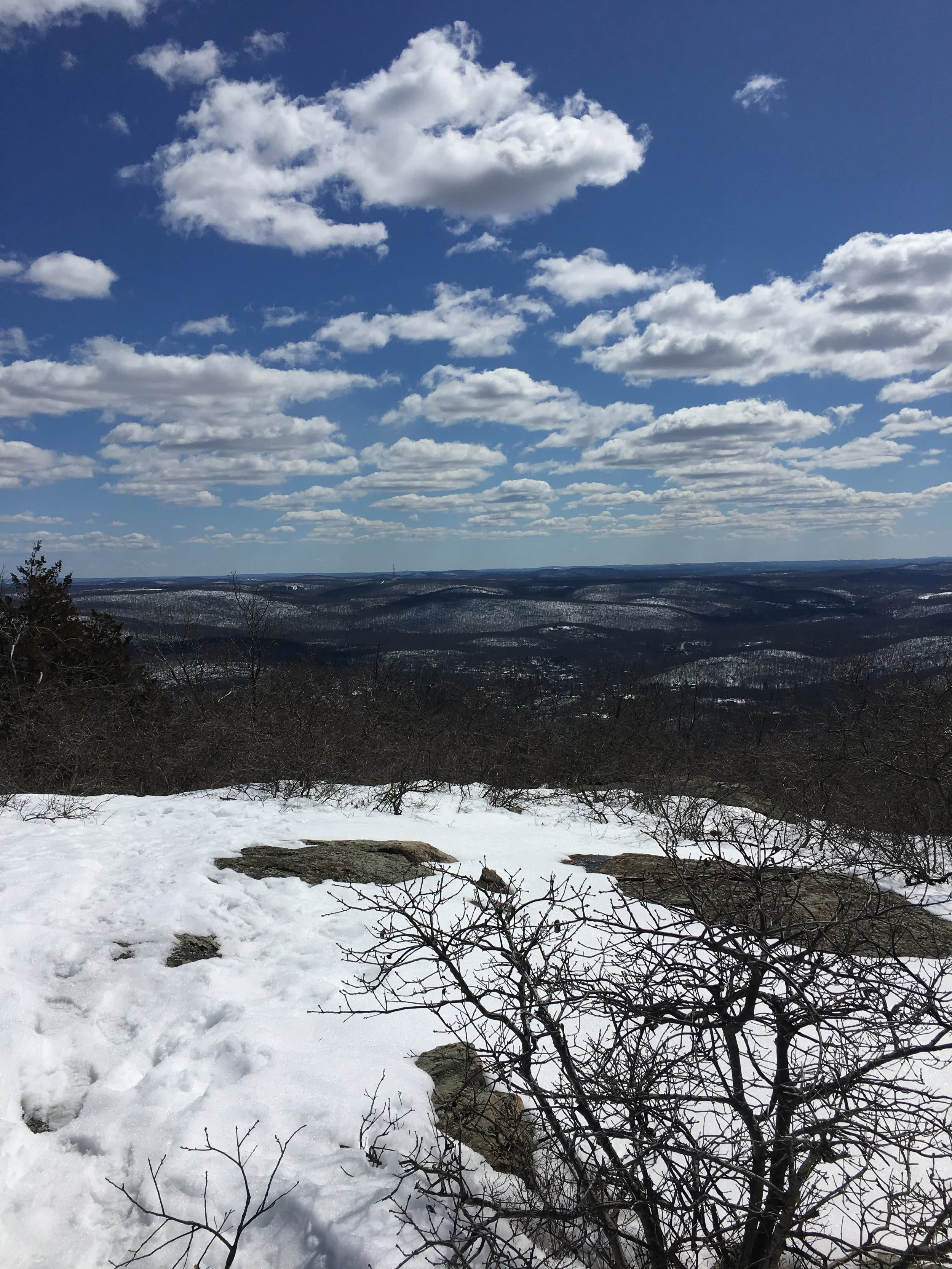
I followed along Wilkinson until I hit came to a red trailhead, followed along for a very short 10 minutes until the white trail led me to the summit of Beacon. I took some nice snapshots from up inside the fire tower, relaxed on the summit where you can actually see the Manhattan skyline, and then made my way down the main Casino trail to the bottom. The trail was surprisingly packed considering all the snow. I saw groups of hikers having some issues getting down considering it was a wet, packed snow, so as you can imagine there was a lot of sliding which can be dangerous at times. Make sure to get yourself some sort of extra traction, ice/snow grips for these types of conditions. Anyways, now that I've done both the typical trip up Beacon from the base (Casino trail) and one from Fishkill and through the other trails mentioned, my recommendation would be to take the latter route for the extra distance, the multiple vantage points, and the less-crowded path.
Mt. Beacon summit picture, including the Fire Tower.
Top of the Fire Tower
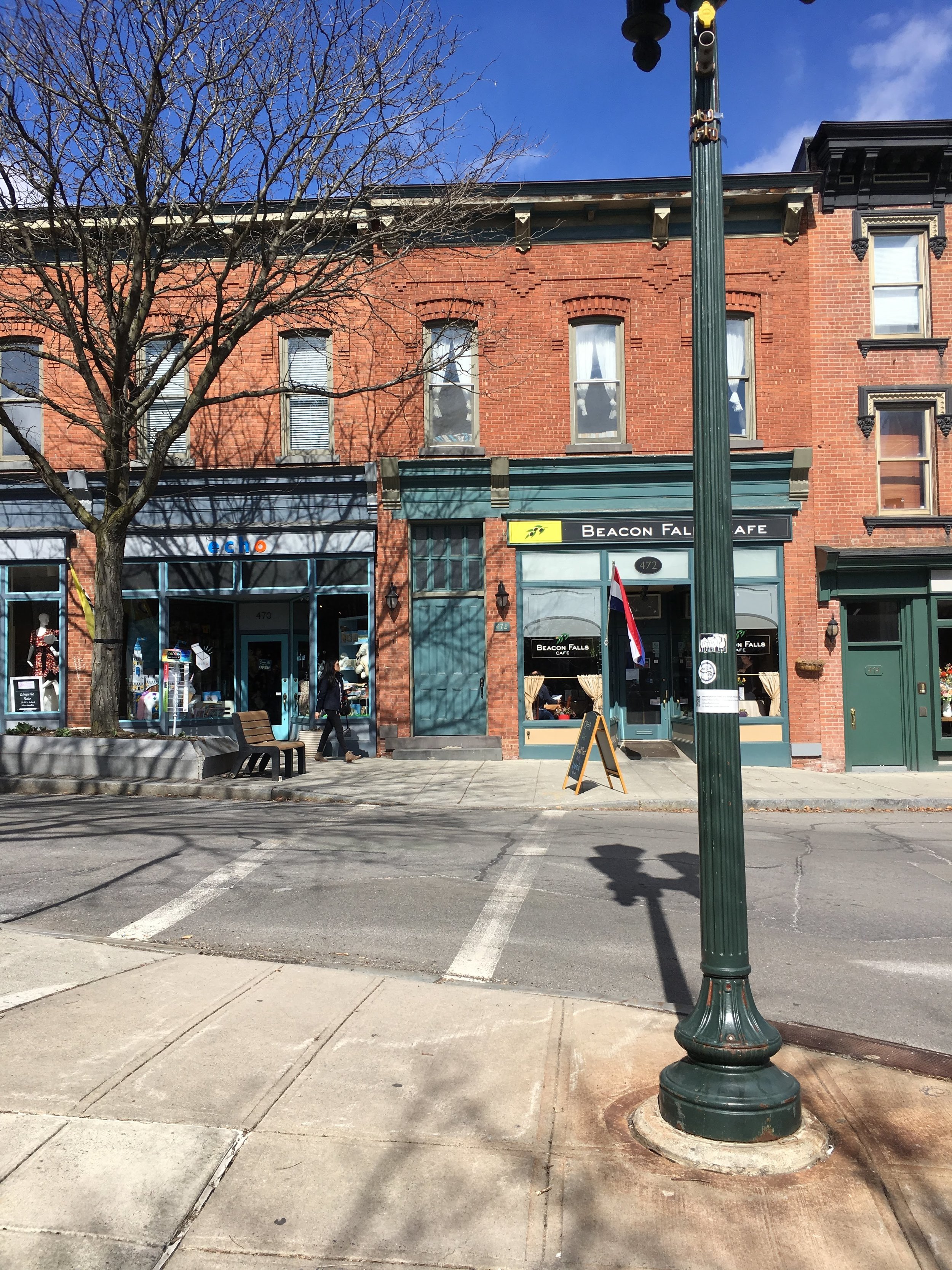
Overall, I probably got in about 4.5 miles of hiking on this beautiful day. The snow made it a bit more of a challenge which i enjoyed. The Fire Tower is about 1,600 feet above sea level. Do yourself a favor and head into town afterwards to grab sometime to eat or drink, and take a walk along Main Street. Beacon is another great little town in the Hudson Valley, and of course offers fulfilling outdoor activities for residents and visitors. Another great hike in the Hudson Valley through New York's endless trails.
-Kyle